|
Do not enter or enter or exit the venue between 10PM and 7:30 AM
Members fish this venue at their own risk, it has very powerful tides. Please read all of the information below and take extra care.
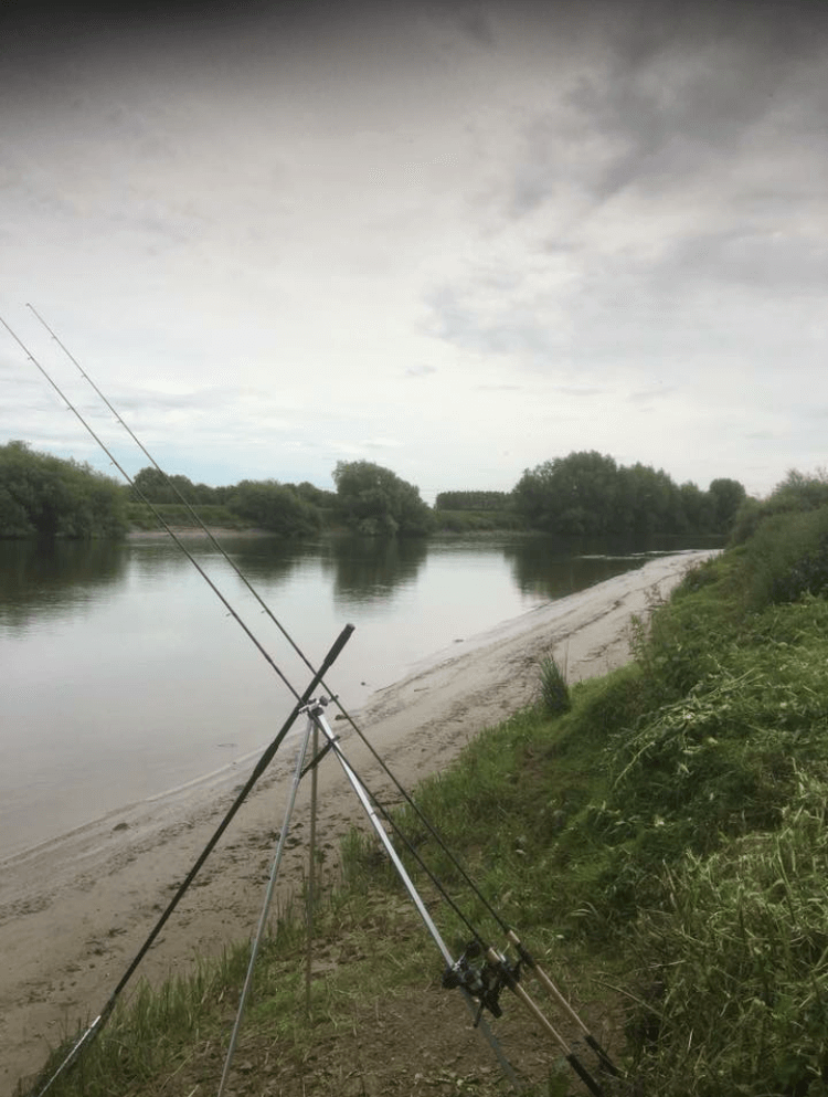
There are pegs that you can fish at low tide however, some are unfishable at low tide. When you cant land a fish stop fishing, do not walk on the mud, be extremely careful with the steep banks. This is a wild river with some very big fish of all species, be careful and time your fishing using the tide times.
We are sharing this venue with SYPAC members this year. Do not fish under pylons Always lock gates behind you. No wading.
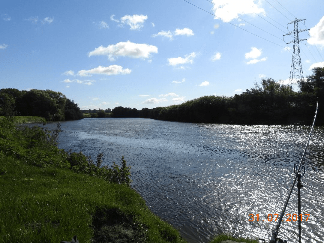
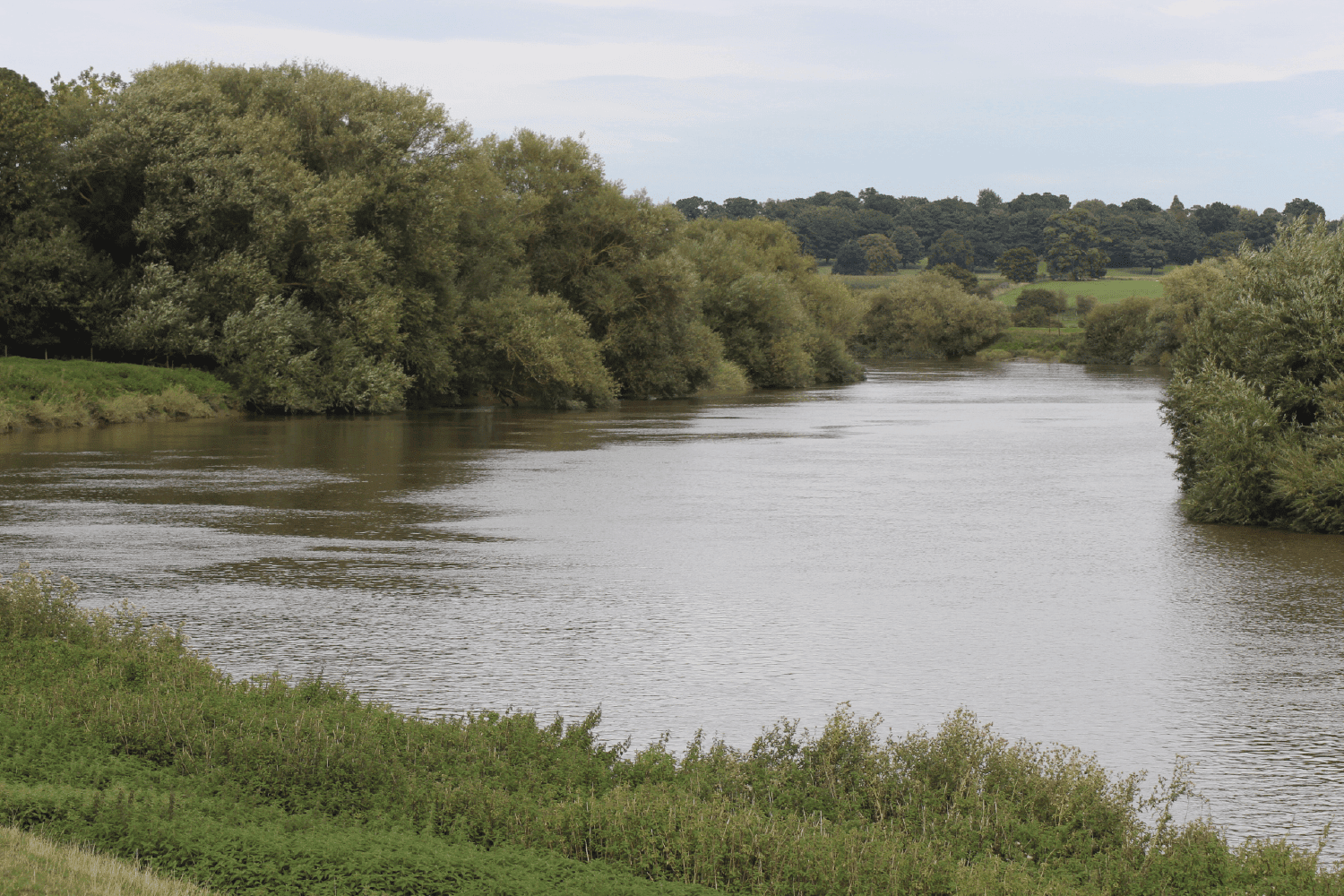
Our new water for 2020 is 3 1/2 miles of the tidal Trent from Littleborough to Burton Waters Power Station. There is car parking
at Littleborough and on a public byway about half way along the stretch. We are currently seeking to negotiate some parking behind your peg.
Directions
See what 3 words link on main venue page: From the A626 Retford to Gainsborough Road turn right at the Sun Inn onto Lowe Street towards North Wheatley. Follow the road through South Wheatley to Sturton Le Steeple where you turn left at the Reindeer Pub to Littleborough. On reaching the river the old ferry is directly in front of you, turn to the
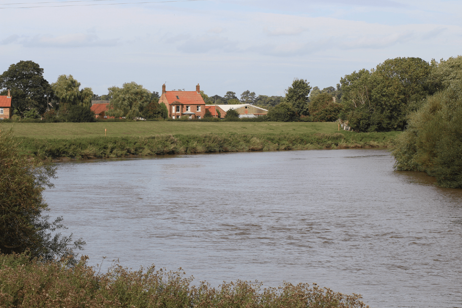
left and the downstream Club Stretch begins at the first fence & style. The upstream stretch is the first meadow beyond River Cottage: post code DN21 5AY. Grid Ref: SK 824824
There is also vehicular access to the river from Littleborough Road via Long Farm Lane, Upper Ings Lane and Knaith Hall Lane giving access to the river at post code: DN22 OHB. Grid Ref: SK 824844
Currently there is no access for members vehicles at West Burton Power Station end of the stretch.
Please Note
Due to the rural locations of some of the Club Waters the post codes relate to one of the nearest
properties.
Car parking
is available on the grass fore-shore to the left of the Old Ferry up to the fence.
Parking at the byway After Sturton le Steeple cross over Catchwater Drain and under the power lines. Just prior to the second power lines turn left
onto the byway and follow it down to the river. You can turn and park at the end of the byway not far from the river. Please
do not obstruct field gates, access points or the byway.
Safety
We hope the advice below is useful but do remember you are responsible for your own safety and although we have tried to provide advice about tide times and heights you must make sure you check these for yourself and take great care when fishing on this stretch of river.
Species
The stretch holds a good head of Roach, Bream, Hybrids and double figure Barbel, Large Carp, Pike and Zander with rumours of large Catfish . When using a swim feeder a strong rod, line and heavy feeder is advisable.
Safety Considerations
Prior to fishing members should make themselves aware of the safety implications when fishing tidal rivers, tide times, tide heights and when exceptionally high tides are likely to occur.
The River Trent flows northwards towards its confluence with the River Ouse at Trent Falls where the two rivers form the
Humber Estuary. High waters usually occur twice a day. A Spring tide (occurring at or around the times of new and full moon) is shown on tide timetables at Hull (King Albert Dock) at around 9.0 to 9.7metres high while a Neap Tide is shown as around 6.9 to 7.5 metres at the same location.
Generally, the tidal height increases each day from a Neap Tide (as the moon waxes) to a Spring Tide after which the height decreases again as the moon wanes.
Tide times and heights are available from a number of sources, these include online at http://www.tides4fishing.com/uk/england/hull
and also very useful tide timetable booklets available from the Canal and
River Trust.
Consulting tide timetables is useful to work out what the tides will be doing when visiting this stretch of the Trent.
All anglers should appreciate that when a big Spring Tide occurs when the river is at its lowest ebb (flowing out towards the sea) and the
tide arrives (known as the flood) it may well be preceded by what is known as the Trent Aegir. This is a tidal bore which pushes a wave up the river, sometimes large enough to surf on and obviously also large enough to sweep tackle and even people from the river bank.
At Gainsborough (just to the north of our stretch and a little nearer to the Humber) the river comes in (floods) for around 2.5 hours and flows out (ebbs) for around 10 hours in each tidal cycle.
The tide will begin to come in at around 2.5 hours after high water Hull and will lift the river level at this location by as much as 3 metres on a spring tide and by about 1.5 metres on a Neap tide. On large tides the water level can rise by as much as 1 metre within the first ten minutes of the flood.
Obviously anyone arriving to fish the river at or a couple of hours below low water will be faced with a situation where the river will flow in for perhaps 2.5 hours and then stand for a while at high water before beginning to flow out again. This is not the best situation for several reasons, firstly if a big high tide is expected this might produce a tidal bore, secondly it the changing water direction and high tide slack water makes it difficult to gather fish as feed is spread in different directions and
depths change rapidly.
To get the best out of the fishing it is perhaps sensible to arrive at or around high water, tackle up and get ready to start
fishing as the tide begins to Ebb.
This presents the angler with around 10 hours when the river level will always be dropping
and flowing in the same direction and makes it much easier to gather shoals of hungry fish.
Obviously if high water slack is at
say 0400 (much too early for most) it’s still possible to arrive at around 0800 and still have 5 or 6 hours to fish before the tide floods!
To take 16 June 2015 (a very relevant date) as an example the Canal and River Trust tide timetable shows a medium height of
tide (8.5 metres) at Hull at 0643 and on the 17th 8.6 metres at 0726. So on both these dates and adding around 2.5 hours to
the Hull high water times it would be best to arrive on the river as sometime around 0930-1000 to have lots of time to fish
with the river flowing in the same direction.
This year there are no Aegir tides in June, the tides between 2nd and 6 July reach around 8.9 metres at Hull (quite big but no Aegir) During August there are two periods of a few days where the Hull tide heights exceed 9 metres and between 31 August and 3rd September there are tides reaching 9.6 metres at Hull where the Aegir tidal bore may run, This is repeated between the 29 September to 1 October where 9.7 metre high tides are expected to create the Aegir tidal bore.
In summary the Trent at this location is a very powerful river, remember that after periods of very heavy rain there may be as much as 3 to 4 metres of extra water and that when this is added to high tides the river will be out of its normal channel and extremely dangerous.
When the river level is normal the bank can be muddy and slippery so please respect the river and think about the likely tide height and times so as to make the best of the excellent very natural fishing.
Don’t let any of the above put you off, very large Barbel, Carp, Bream, Chub as well as good Roach, Perch and Pike are present.
You may even catch Dabs and Flounders which stray up from the sea (as does the odd seal). Methods to use include swim feeding or depending on what you wish to catch stick float or waggler.
The website and Canal and River Trust Timetable depict tide heights slightly differently. This is due to these two sources
using different tidal station locations. A website predicted tide height of 7.5 metres + may well produce an Aegir tidal bore.
This section of the Trent is a gem, its deep close in, the tide can be strong here and at times very heavy weights are needed to hold the bottom. Very good Zander, Pike and Perch with rumours of Cats coming out and some very very large Barbel, this is a new stretch so we are relying on some of our top anglers to fish it and provide us with details of catches.
|
| The Bailiffs |
| Dave Shipstone - Lead |
Terry Howath |
Billy Bingham |
Phil Blackburn |
 |
 |
 |
 |
Interactive Google Map of the location |
|


